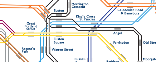
Long time readers will be familiar with my obsession with public transport, specifically the London Underground.
Gizmodo's analysis of Tube wifi tracking data is fascinating - including some of the truly insane paths people have taken between between King's Cross and Waterloo
Transport for London has released 124 axonometric diagrams of underground stations. Looking at stations you've walked through thousands of times is still a little confusing.
One the one hand, it looks terrible. However, London Underground Simulator (Circle Line) is so detailed in all the right ways that I just want to play it. For hours.
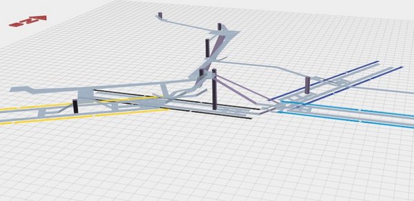
Andrew Godwin has just released an excellent mapping project, visualizing a few London Underground stations, complete with public corridors, escalators, spiral staircases and platforms. The maps are 3D models, which you can pan and zoom inside the browser. Digging into the source is also worth a look, since it uses some nice canvas and three.js guts.
Poking around his other work, the Twin Tubes map is also worth a look - the underground network with each individual track visualized.
i used to work right by mount pleasant sorting office and was a bit obsessed with the mail railway. this photo series exploring it is excellent. read it now